
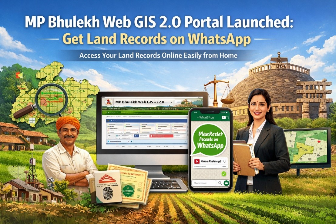
MP Bhulekh Web GIS 2.0 Portal Launched: Now Get Land Records on WhatsApp from Home
-
 By L. Sadriwala
- April 16, 2026
Introduction
In a significant step towards digital governance and ease of living, the Madhya Pradesh government has upgraded its land record system with the launch of the MP Bhulekh Web GIS 2.0 portal. This new version replaces the earlier Web GIS 1.0 system and introduces faster, more transparent, and user-friendly features for farmers, landowners, and citizens.
From accessing Khasra and Khatauni details to receiving certified land records directly on WhatsApp, the platform aims to simplify land-related processes like never before. But while the initiative promises convenience, it also comes with certain challenges that users should be aware of.
Let’s break everything down in a structured and detailed manner.
Also Read:- RTPs Bihar Portal: Application Status Check | Certificate Downloads | Caste Certification
Quick Answer
The MP Bhulekh Web GIS 2.0 portal allows users to access land records, maps, ownership details, and certified copies online, including receiving documents via WhatsApp, making land management faster and more transparent.
What is the MP Bhulekh Portal?

The MP Bhulekh portal is an online land record management system launched by the Madhya Pradesh government to digitize land-related information and make it accessible to citizens.
It enables landowners to view, download, and verify records such as Khasra, Khatauni, and land maps without visiting government offices. With the launch of Web GIS 2.0, this platform has become more advanced, secure, and efficient.
Also Read:- What Is the New Central RERA Portal and How to Use It?
What is Web GIS 2.0 and Why Was It Introduced?
Web GIS 2.0 is the upgraded version of the earlier land record system (Web GIS 1.0), designed to improve accessibility, transparency, and speed of services.
The new portal was first tested in districts like Narsinghpur and Seoni. After successful implementation, it was rolled out across Madhya Pradesh from July 30, 2025.
The primary objective of this upgrade is to reduce dependency on physical visits to revenue offices and bring land services directly to citizens’ fingertips.
Also Read:- Banglarbhumi Portal: Land records | Registration | Online Khatian
Key Features of MP Bhulekh Web GIS 2.0

Access Land Records from Home
- Users can now easily check Khasra and Khatauni details by selecting their district, tehsil, and village online.
WhatsApp Integration
- One of the biggest highlights is the ability to receive certified land documents directly via WhatsApp, saving time and effort.
Digital Land Maps (Bhu Naksha)
- The portal allows users to view and download detailed land maps, helping in accurate understanding of plot boundaries.
Aadhaar-Based e-KYC
- Identity verification through Aadhaar ensures security and reduces chances of fraud.
Digitally Signed Documents
- Certified copies are legally valid and can be used for official purposes.
Mobile App Access
- Apart from the web portal, a mobile app ensures that users can access services anytime, anywhere.
Old Land Records & Archives
- Historical land documents are available in scanned format, which is especially useful for dispute resolution.
Also Read:- Jankalyan Portal Sambal: Download | Login & Registration and KYC
Web GIS 2.0 vs Web GIS 1.0: What Has Changed?
The new version introduces several upgrades that enhance usability and security.
Login is now possible via mobile number or email instead of just ID and password. Security has been strengthened with OTP-based verification along with passwords. Users can access all certified copies from a single platform, whereas earlier, different modules were required.
A major addition is WhatsApp delivery of documents, which was not available earlier. Aadhaar integration has been introduced for identity verification, and users can now track their applications via SMS or WhatsApp updates.
Additionally, multiple online payment options are available, replacing the earlier limited payment systems.
Services Available on Web GIS 2.0 Portal

View Khasra and Khatauni
- Users can instantly access land ownership and rights records.
Land Maps (Bhu Naksha)
- Digital maps provide accurate details about land size and boundaries.
Certified Copies
- Digitally signed documents can be downloaded and used for legal purposes.
Aadhaar e-KYC
- Ensures secure access and prevents unauthorized changes.
Population Register Access
- Users can verify identity-related data linked to government records.
Archive Records
- Old and historical land records can be accessed easily.
Also Read:- khajane 2 Portal Login:- Registration | Challan Generation | Download
Registration and Login Process
The portal offers a simple and quick registration process. Users need to enter their mobile number and complete OTP-based verification to create an account.
Once registered, users can log in and access services like Khasra details, Khatauni records, land maps, ownership status, and document downloads. The process is designed to be user-friendly, even for first-time users.
How Web GIS 2.0 Benefits Farmers and Landowners
The portal eliminates the need for frequent visits to government offices, saving both time and money. It also increases transparency, as all records are available online and updated in real time.
Farmers can use these documents for loans, crop insurance, and legal verification without delays. The WhatsApp feature further simplifies access, especially for users in rural areas.
Also Read:- How to Check UP Gramin Bank Balance Using the Balance Check Number?
Challenges and Technical Issues Reported
While the initiative is promising, several issues have been reported.
Technical Glitches
- Users and officials have complained about system errors affecting mutations, e-KYC, and revenue-related work.
Patwari Strike
- The Patwari Association has raised concerns about technical flaws and has refused to work on the portal until improvements are made.
OTP Issues
- The OTP-based system, though secure, is causing delays. If one co-owner does not receive the OTP, the entire process gets stuck.
Digital Map Errors
- In some districts, incorrect or mismatched village maps have been uploaded, causing confusion and delays in land-related processes.
Data Discrepancies
- Cases of incorrect Khasra entries and incomplete digitization have been reported, affecting accuracy.
Important Advisory for Users
Experts recommend that while the portal is useful, users should not rely solely on digital records for critical decisions. It is advisable to cross-check with original documents, especially in legal or financial matters.
Users facing issues can file complaints through the portal for resolution.
Conclusion
The launch of MP Bhulekh Web GIS 2.0 marks a major step toward digitization and transparency in land record management. Features like WhatsApp access, Aadhaar-based verification, and real-time updates make it a powerful tool for citizens.
However, like any large-scale digital transformation, it comes with initial challenges. Addressing technical issues and improving usability will be key to ensuring long-term success.
For now, the portal is a promising initiative that has the potential to revolutionize how land records are accessed and managed in Madhya Pradesh.
Key Takeaways
- MP Bhulekh Web GIS 2.0 brings land records online with improved transparency and ease of access.
- Users can now receive certified land documents directly on WhatsApp.
- The portal offers features like Aadhaar e-KYC, digital maps, and archive records.
- It eliminates the need for physical visits to revenue offices.
- Technical issues and OTP-related challenges currently affect usability.
- Users should verify records with original documents before making major decisions.
Sources
- Madhya Pradesh Revenue Department official updates
- Government press releases and public announcements
- Land records digitization policy documents
- Reports from district-level administrative offices
- User feedback and system implementation reports
FAQs
- It is an upgraded online portal for accessing land records in Madhya Pradesh. It offers faster and more secure services compared to the previous version.
- Yes, certified copies of land records can now be received via WhatsApp. This feature makes access extremely convenient.
- Aadhaar is used for e-KYC verification to ensure security. However, basic information can still be accessed without it.
- You can register using your mobile number and OTP verification. The process is simple and quick.
- You can view Khasra, Khatauni, land maps, and ownership details. You can also download certified copies.
- Yes, Web GIS 2.0 includes a mobile app. It allows users to access services on the go.
- Khasra refers to land parcel details, while Khatauni shows ownership records. Both are essential land documents.
- Yes, digitally signed documents are legally valid. They can be used for official purposes.
- It reduces the need to visit government offices. It also improves transparency and efficiency.
- Users have reported OTP delays and technical glitches. Some data inaccuracies have also been found.
- They have raised concerns about technical problems in the portal. These issues are affecting their work.
- Yes, you can receive updates via SMS or WhatsApp. This helps in tracking progress easily.
- It is a process to verify identity using Aadhaar. It ensures secure access to records.
- Yes, archived records are available on the portal. These are useful for historical reference.
- Basic services are generally free. Some certified copies may require a nominal fee.
- You may need to retry or contact support. In some cases, delays can occur due to technical issues.
- Most maps are accurate, but some discrepancies have been reported. It is advisable to verify with official sources.
- Yes, the portal allows selection of multiple records in one application. This improves efficiency.
- You can file a complaint through the portal. Authorities will review and resolve the issue.
- Yes, it includes OTP and Aadhaar-based security features. These ensure data protection.
L. Sadriwala, the Editor-in-Chief at Housiey, is a seasoned writer whose professional journey in content creation began in 2015. With a background rooted in a family of real estate developers, her transition into real estate writing was a natural evolution, bringing together her storytelling expertise and deep industry understanding.
Over the years, she has authored impactful blogs across diverse niches such as food, travel, and lifestyle, before establishing her reputation as a trusted voice in Indian real estate. Today, her work stands out for its clarity, accuracy, and ability to simplify complex property concepts for readers.
At Housiey, every article crafted by L. Sadriwala reflects thorough research, verified facts, and a reader-first approach. From decoding housing policies and trends to offering in-depth builder reviews and project insights, her mission is clear: to empower homebuyers and investors with the knowledge they need to make confident property decisions.
Her writing not only informs but also builds trust, making her one of the most credible editorial voices in the real estate space.
Related Stories