
KMP Expressway in 2026: Route Map | Toll Charges | Speed Limit
-
 By L. Sadriwala
- November 1, 2025
The Kundli–Manesar–Palwal Expressway, popularly known as the KMP Expressway, stands as one of North India’s most crucial infrastructural developments. Acting as a massive decongestion corridor for Delhi, this expressway connects Haryana’s major industrial hubs while offering a seamless alternative to commuters traveling between northern and southern parts of the National Capital Region (NCR). In 2025, with upgraded facilities, revised toll rates, and enhanced connectivity, the KMP Expressway continues to transform the regional logistics and real estate landscape.
Also Read:- NH44 National Highway: Route | Map | Distance | News
What is the Full Form of KMP Expressway and Why Is It Important?

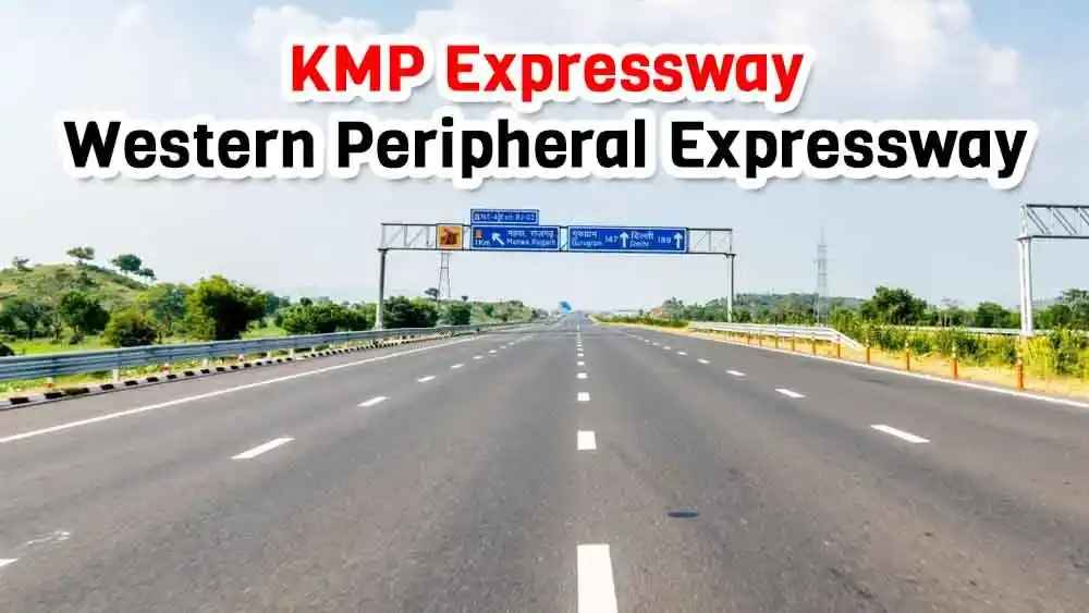
The KMP Expressway full form stands for Kundli–Manesar–Palwal Expressway. It is also known as the Western Peripheral Expressway. The project was envisioned to act as a bypass for heavy vehicles traveling through Delhi, thereby reducing congestion, pollution, and traffic load on the capital’s roads.
Spanning approximately 136 kilometers, the expressway forms a semicircular arc around Delhi, linking Kundli in the north, Manesar in the west, and Palwal in the south. Together with the Eastern Peripheral Expressway, which connects Kundli to Palwal on the opposite side, it forms a full ring around Delhi — creating India’s first National Capital Regional (NCR) Ring Road.
The KMP Expressway has been a game-changer for the logistics, warehousing, and real estate sectors of Haryana, facilitating faster goods movement and providing easy access to Delhi’s major highways such as NH-44, NH-8, and NH-2.
What Is the Complete KMP Expressway Route Map With Distance?

The KMP Expressway route map with distance covers 136 km, running parallel to Delhi’s western boundary. Below is the segment-wise breakdown of the route:
- Kundli to Manesar – 83 km
- Manesar to Palwal – 53 km
- Total Length – 136 km
Major Intersections Along the KMP Highway Route Map:
- NH-44 (Kundli)
- NH-9 (Bahadurgarh)
- NH-48 (Manesar)
- NH-19 (Palwal)
Each intersection provides direct connectivity to major cities such as Sonipat, Jhajjar, Gurugram, and Faridabad. The highway also serves as a link between major industrial clusters and logistics hubs in Haryana.
KMP Expressway directions are well-marked with LED signage boards and real-time traffic management systems. This ensures smooth navigation for both long-haul and local commuters.
Also Read:- Top 10 Longest Roads in the World: A Journey Through Endless Highways
How Is the DND KMP Expressway Connected to the Delhi-NCR Network?

The DND KMP Expressway full form refers to the Delhi–Noida–Direct Flyway and Kundli–Manesar–Palwal Expressway linkage. This integrated corridor provides a faster alternative for commuters traveling between Delhi, Noida, Gurugram, and Faridabad without entering congested city roads.
With the completion of Eastern Peripheral Expressway (EPE) and KMP Expressway, vehicles can now make a full peripheral circle around Delhi, significantly reducing travel time between states like Haryana, Uttar Pradesh, and Rajasthan.
Also Read:- Upcoming Expressways in India in 2025
What Is the Total KMP Expressway Distance From Major Locations?
For travelers trying to locate the KMP Expressway from my location, here are some approximate distances from key points:
- From Delhi (Dwarka): ~25 km to Manesar entry
- From Noida: ~40 km via Eastern Peripheral Expressway
- From Faridabad: ~20 km to Palwal entry
- From Gurugram: ~10 km to Manesar interchange
- From Sonipat: ~15 km to Kundli interchange
These distances make it evident that the expressway is strategically positioned to connect major residential, industrial, and commercial belts around Delhi-NCR.
Also Read:- Delhi – Jaipur Expressway: Route Map | Opening Date | Distance | News
What Are the Entry and Exit Points on KMP Expressway?

The KMP Expressway entry and exit points are located at key junctions for seamless access. These points ensure maximum connectivity for local as well as inter-state commuters.
Main Entry/Exit Points Include:
- Kundli (Sonipat) – Northern starting point connecting NH-44
- Bahadurgarh (Jhajjar) – Connects NH-9
- Manesar (Gurugram) – Connects NH-48 and Gurugram city
- Palwal (Faridabad) – Southern end connecting NH-19
- Badli, Farrukhnagar, and Sohna – Secondary entries
All these interchanges are designed with service roads, toll plazas, rest areas, and fuel stations, ensuring a smooth experience for both light and heavy vehicles.
What Are the KMP Expressway Toll Charges in 2025?

The KMP Expressway toll rates list has been updated in 2025 to reflect operational improvements and maintenance costs. The toll charges vary based on vehicle type and distance traveled.
KMP Expressway Toll Rates List (Approximate):
- Car/Jeep/Van: ₹1.75 per km
- LCV (Light Commercial Vehicle): ₹2.85 per km
- Bus/Truck: ₹5.85 per km
- Three-Axle Vehicle: ₹6.25 per km
- Heavy Vehicle (HCM/EME): ₹9.40 per km
- Oversized Vehicle: ₹11.40 per km
For full-distance travel from Kundli to Palwal, a private car typically pays around ₹250–₹275, depending on exit points. Electronic toll collection via FASTag is mandatory across all plazas, ensuring faster clearance.
What Is the Speed Limit on KMP Expressway?

The KMP Expressway speed limit is standardized to ensure safety and smooth flow of vehicles:
- Cars: 120 km/h
- Buses & Light Commercial Vehicles: 80 km/h
- Heavy Trucks: 70 km/h
The highway is equipped with speed cameras, automated surveillance, and patrolling units to enforce these limits strictly. The aim is to reduce accidents and ensure discipline among commuters.
How Does the KMP Expressway Support Industrial and Real Estate Growth?
The expressway’s development has revolutionized Haryana’s economic corridor. Areas like Manesar, Sohna, and Bahadurgarh have witnessed a surge in warehousing, logistics, and residential projects due to improved accessibility.
Real Estate Impact Highlights:
- Gurugram South Belt: Increase in housing demand due to proximity to Manesar entry.
- Sonipat Region: Emerging as a logistics and industrial powerhouse.
- Palwal and Sohna: Rapid development in plotted housing and commercial realty.
With the government’s focus on industrial parks and freight corridors, the KMP Expressway’s connectivity is expected to attract massive private investments over the next decade.
How Is the KMP Expressway Different From the Eastern Peripheral Expressway?
While both expressways aim to decongest Delhi, they cater to different regional belts.
| Feature | KMP Expressway | Eastern Peripheral Expressway |
| Full Form | Kundli–Manesar–Palwal Expressway | Kundli–Ghaziabad–Palwal Expressway |
| Location | Western Side of Delhi | Eastern Side of Delhi |
| Length | 136 km | 135 km |
| Connecting States | Haryana | Uttar Pradesh |
| Function | Western Bypass | Eastern Bypass |
Together, these two form a complete orbital ring around Delhi, significantly improving inter-state movement and regional logistics.
How Can You Find the KMP Expressway Directions From Your Location?
To access the KMP Expressway from my location, Google Maps and navigation tools offer live directions under the name “Western Peripheral Expressway”. You can also look for nearby interchanges such as Kundli, Bahadurgarh, or Manesar.
For long-distance travelers, it’s recommended to use navigation apps for real-time updates on toll booths, traffic density, and service stops along the route.
Why Is the KMP Expressway Vital for India’s Logistics Future?

The expressway is an integral part of India’s logistics network, aligning with the Delhi–Mumbai Industrial Corridor (DMIC). It drastically reduces travel time between northern and western industrial belts.
For example:
- Goods from Punjab or Himachal can now bypass Delhi and directly reach Rajasthan or Gujarat via KMP.
- Transit times for freight trucks have been reduced by 3–4 hours, boosting efficiency and fuel savings.
This strategic corridor not only benefits commercial transport but also supports warehousing clusters near Manesar, Sohna, and Palwal, which are emerging as major logistics hubs.
What Facilities Are Available Along the KMP Expressway?

To ensure commuter convenience, the KMP Expressway offers modern roadside amenities such as:
- Fuel stations at every 20 km
- Emergency helpline booths
- CCTVs and patrolling units
- Rest and food plazas
- Vehicle repair stations
These facilities make long-distance travel more comfortable and secure.
Conclusion
The KMP Expressway continues to redefine the travel and logistics experience in Northern India. Its 136-kilometer stretch not only relieves Delhi of traffic congestion but also serves as a growth catalyst for Haryana’s industrial and residential sectors. With enhanced speed regulations, revised toll rates, and world-class infrastructure, the KMP stands as a symbol of modern India’s infrastructural transformation.
For investors, homeowners, and frequent travelers, this expressway has opened new avenues of growth and convenience. Whether you’re looking for KMP Expressway directions, checking toll rates, or exploring entry and exit points, this route remains one of India’s most efficient travel corridors.
At Housiey, we continue to bring you insights into how India’s infrastructure shapes the future of real estate and living.
If you found this guide helpful, don’t miss our next detailed read on the “Shaktipeeth Expressway” — a rapidly emerging infrastructure project reshaping connectivity in Northern India.
FAQs
- It stands for Kundli–Manesar–Palwal Expressway.
- It is also referred to as the Western Peripheral Expressway.
- The total length is approximately 136 kilometers.
- It connects Kundli, Manesar, and Palwal in Haryana.
- It was inaugurated in two phases, completed fully in 2018.
- The project was initially proposed in 2006.
- The speed limit for cars is 120 km/h.
- Heavy vehicles are restricted to 70–80 km/h.
- To divert heavy traffic away from Delhi.
- It also improves connectivity among NCR cities.
- Main points include Kundli, Bahadurgarh, Manesar, and Palwal.
- Secondary entries exist at Sohna and Farrukhnagar.
- Around ₹1.75 per km.
- For full-route travel, toll is approximately ₹250–₹275.
- Yes, FASTag is compulsory for all vehicles.
- This ensures contactless and faster toll transactions.
- Fuel stations, rest areas, and surveillance systems.
- Emergency helplines are active 24×7.
- You can locate it via Google Maps using your GPS.
- Search “Western Peripheral Expressway” for accurate directions.
- KMP lies on Delhi’s western side, while EPE covers the eastern arc.
- Together, they form a complete ring around Delhi.
- Yes, both sides have service roads.
- These ensure local connectivity without entering the main lanes.
- No, two-wheelers are not allowed.
- The expressway is restricted to four-wheel and heavy vehicles.
- There are 10 toll plazas along the route.
- Each is equipped with electronic payment systems.
- NH-44, NH-9, NH-48, and NH-19 connect at major junctions.
- This enables smooth interstate movement.
- Yes, AI-based speed detection cameras are installed.
- Offenders are fined automatically.
- Reduced travel time and fuel savings.
- Less congestion and better traffic management.
- The highway is well-lit and patrolled regularly.
- CCTV monitoring enhances safety standards.
- Gurugram, Sonipat, Palwal, and Bahadurgarh.
- These regions have witnessed rapid economic growth.
- Yes, it forms a crucial link in the DMIC route.
- It enhances logistics and freight transport efficiency.
L. Sadriwala, the Editor-in-Chief at Housiey, is a seasoned writer whose professional journey in content creation began in 2015. With a background rooted in a family of real estate developers, her transition into real estate writing was a natural evolution, bringing together her storytelling expertise and deep industry understanding.
Over the years, she has authored impactful blogs across diverse niches such as food, travel, and lifestyle, before establishing her reputation as a trusted voice in Indian real estate. Today, her work stands out for its clarity, accuracy, and ability to simplify complex property concepts for readers.
At Housiey, every article crafted by L. Sadriwala reflects thorough research, verified facts, and a reader-first approach. From decoding housing policies and trends to offering in-depth builder reviews and project insights, her mission is clear: to empower homebuyers and investors with the knowledge they need to make confident property decisions.
Her writing not only informs but also builds trust, making her one of the most credible editorial voices in the real estate space.
Related Stories